Tour Du Mont Blanc: Trail Guide with 50 Large-Scale Maps and Guides to 12 Towns and Villages Including Chamonix, Courmayeur and Argentière

Tour Du Mont Blanc: Trail Guide with 50 Large-Scale Maps and Guides to 12 Towns and Villages Including Chamonix, Courmayeur and Argentière - Jim Manthorpe

Tour Du Mont Blanc: Trail Guide with 50 Large-Scale Maps and Guides to 12 Towns and Villages Including Chamonix, Courmayeur and Argentière

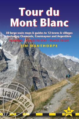
At 4810m (15,781ft), Mont Blanc is the highest mountain in western Europe, and one of the most famous mountains in the world. The trail (105 miles, 168km) that circumnavigates the massif, passing through France, Italy and Switzerland, is the most popular long distance walk in Europe. 62 maps - 12 town and village plans and 50 large-scale walking maps - at 1:20,000 - showing route times, gradients, where to stay, interesting features Itineraries for all walkers - whether walking the 105 mile (168km) route in its entirety, or sampling the highlights on day walks and short breaks Practical information for all budgets - where to stay (campsites, gîtes, hostels, B&Bs, lodges and hotels), where to eat, what to see Comprehensive background information - the Alps, flora and fauna, the history of mountaineering and trekking in the region and the conquest of Mont Blanc in 1786 by Bourrit and Balmat Full public transport information - for all access points Climbing Mont Blanc - practical information, guides, the route to the top
Citeste mai mult

-10%

PRP: 136.09 Lei

!

Acesta este Pretul Recomandat de Producator. Pretul de vanzare al produsului este afisat mai jos.

122.48Lei

122.48Lei

136.09 Lei

Primesti 122 puncte

Important icon msg

Primesti puncte de fidelitate dupa fiecare comanda! 100 puncte de fidelitate reprezinta 1 leu. Foloseste-le la viitoarele achizitii!

Livrare in 2-4 saptamani

Descrierea produsului

At 4810m (15,781ft), Mont Blanc is the highest mountain in western Europe, and one of the most famous mountains in the world. The trail (105 miles, 168km) that circumnavigates the massif, passing through France, Italy and Switzerland, is the most popular long distance walk in Europe. 62 maps - 12 town and village plans and 50 large-scale walking maps - at 1:20,000 - showing route times, gradients, where to stay, interesting features Itineraries for all walkers - whether walking the 105 mile (168km) route in its entirety, or sampling the highlights on day walks and short breaks Practical information for all budgets - where to stay (campsites, gîtes, hostels, B&Bs, lodges and hotels), where to eat, what to see Comprehensive background information - the Alps, flora and fauna, the history of mountaineering and trekking in the region and the conquest of Mont Blanc in 1786 by Bourrit and Balmat Full public transport information - for all access points Climbing Mont Blanc - practical information, guides, the route to the top
Citeste mai mult

De pe acelasi raft

De acelasi autor

Parerea ta e inspiratie pentru comunitatea Libris!

Noi suntem despre carti, si la fel este si

Newsletter-ul nostru.

Aboneaza-te la vestile literare si primesti un cupon de -10% pentru viitoarea ta comanda!

*Reducerea aplicata prin cupon nu se cumuleaza, ci se aplica reducerea cea mai mare.

Ma abonez image one
Ma abonez image one