


The Thames Path: National Trail from London to the River's Source in Gloucestershire
The Thames Path: National Trail from London to the River's Source in Gloucestershire
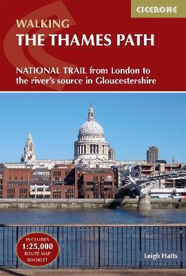
A guidebook to hiking the Thames Path, a 180-mile National Trail in the UK from the Thames Barrier to the river's source in near Cirencester, passing from central London through Windsor, Henley, and Oxford, and rural countryside. it is a mainly flat route with good access by public transport and typically takes two weeks to hike. On its way it passes historic sites such as Greenwich, Kew Gardens, Hampton Court, Runnymede, Windsor Castle, and Oxford. This guidebook features complete OS 1:50,000 scale mapping of the route and comprehensive information about accommodation, facilities, refreshments, and transport links for each stage of the route. A separate pocket-sized map booklet is also included showing the full route on 1:25,000 scale OS maps, providing all the mapping needed to complete the trail.
PRP: 122.06 Lei
Acesta este Prețul Recomandat de Producător. Prețul de vânzare al produsului este afișat mai jos.
109.85Lei
109.85Lei
122.06 LeiPrimești 109 puncte

Livrare in 2-4 saptamani
Descrierea produsului
A guidebook to hiking the Thames Path, a 180-mile National Trail in the UK from the Thames Barrier to the river's source in near Cirencester, passing from central London through Windsor, Henley, and Oxford, and rural countryside. it is a mainly flat route with good access by public transport and typically takes two weeks to hike. On its way it passes historic sites such as Greenwich, Kew Gardens, Hampton Court, Runnymede, Windsor Castle, and Oxford. This guidebook features complete OS 1:50,000 scale mapping of the route and comprehensive information about accommodation, facilities, refreshments, and transport links for each stage of the route. A separate pocket-sized map booklet is also included showing the full route on 1:25,000 scale OS maps, providing all the mapping needed to complete the trail.
Detaliile produsului


