Spatial Information Technology for Sustainable Development G

Spatial Information Technology for Sustainable Development G - Dilip Kumar

Spatial Information Technology for Sustainable Development G

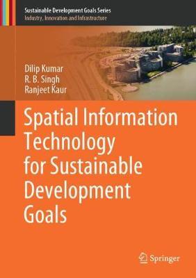
This textbook aims to develop a scientific knowledge base on spatial information technology to communicate the United Nations' Sustainable Development Goals (SDGs) among students, researchers, professionals and laymen. The book improves understanding of the spatial database and explains how to extract information from this for planning purposes. To enhance the knowledge of geoscientists and environmentalists, the book describes the basic fundamental concepts to advance techniques for spatial data management and analysis and discusses the methodology. The Geographic Information System (GIS), remote sensing and Global Positioning System (GPS) are presented in an integrated manner for the planning of resources and infrastructure. The management of these systems is discussed in a very lucid way to develop the reader's skills. The proper procedure for map making and spatial analysis are included along with case studies to the reader. Where the first part of the book discusses the conceptual background, the second part deals with case studies using these applications in different disciplines. The presented case studies include land use, agriculture, flood, watershed characterization and infrastructure assessment for the Sustainable Development Goals.
Citeste mai mult

-10%

transport gratuit

PRP: 571.04 Lei

!

Acesta este Pretul Recomandat de Producator. Pretul de vanzare al produsului este afisat mai jos.

513.94Lei

513.94Lei

571.04 Lei

Primesti 513 puncte

Important icon msg

Primesti puncte de fidelitate dupa fiecare comanda! 100 puncte de fidelitate reprezinta 1 leu. Foloseste-le la viitoarele achizitii!

Livrare in 2-4 saptamani

Descrierea produsului

This textbook aims to develop a scientific knowledge base on spatial information technology to communicate the United Nations' Sustainable Development Goals (SDGs) among students, researchers, professionals and laymen. The book improves understanding of the spatial database and explains how to extract information from this for planning purposes. To enhance the knowledge of geoscientists and environmentalists, the book describes the basic fundamental concepts to advance techniques for spatial data management and analysis and discusses the methodology. The Geographic Information System (GIS), remote sensing and Global Positioning System (GPS) are presented in an integrated manner for the planning of resources and infrastructure. The management of these systems is discussed in a very lucid way to develop the reader's skills. The proper procedure for map making and spatial analysis are included along with case studies to the reader. Where the first part of the book discusses the conceptual background, the second part deals with case studies using these applications in different disciplines. The presented case studies include land use, agriculture, flood, watershed characterization and infrastructure assessment for the Sustainable Development Goals.
Citeste mai mult

De pe acelasi raft

Parerea ta e inspiratie pentru comunitatea Libris!

Noi suntem despre carti, si la fel este si

Newsletter-ul nostru.

Aboneaza-te la vestile literare si primesti un cupon de -10% pentru viitoarea ta comanda!

*Reducerea aplicata prin cupon nu se cumuleaza, ci se aplica reducerea cea mai mare.

Ma abonez image one
Ma abonez image one