Atlas of the Great Plains

Atlas of the Great Plains - Center For Great Plains Studies

Atlas of the Great Plains


2011 Booklist Editor's Choice, reference category

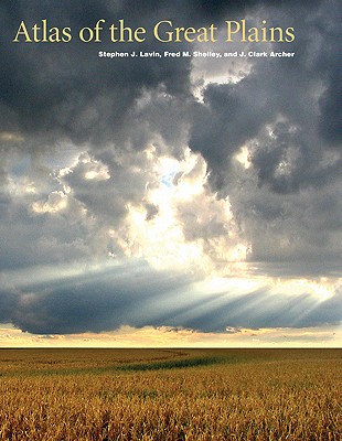
The Great Plains, stretching northward from Texas into Canada, is a region that has been understudied and overlooked. The Atlas of the Great Plains, however, brings a new focus to North America's midcontinent. With more than three hundred original full-color maps, accompanied by extended explanatory text, this collection chronicles the history of the Great Plains, including political and social developments. Far more than simply the geography of the region, this atlas explores a myriad of subjects from Native Americans to settlement patterns, agricultural ventures to voting records, and medical services to crime rates. These detailed and beautifully designed maps convey the significance of the region, capturing the essence of its land and life. The only current and comprehensive atlas of the Great Plains region, it is also the first atlas to include both the United States and Canada, showing the region's full length and breadth.
Citeste mai mult

-10%

transport gratuit

PRP: 306.00 Lei

!

Acesta este Pretul Recomandat de Producator. Pretul de vanzare al produsului este afisat mai jos.

275.40Lei

275.40Lei

306.00 Lei

Primesti 275 puncte

Important icon msg

Primesti puncte de fidelitate dupa fiecare comanda! 100 puncte de fidelitate reprezinta 1 leu. Foloseste-le la viitoarele achizitii!

Livrare in 2-4 saptamani

Descrierea produsului


2011 Booklist Editor's Choice, reference category

The Great Plains, stretching northward from Texas into Canada, is a region that has been understudied and overlooked. The Atlas of the Great Plains, however, brings a new focus to North America's midcontinent. With more than three hundred original full-color maps, accompanied by extended explanatory text, this collection chronicles the history of the Great Plains, including political and social developments. Far more than simply the geography of the region, this atlas explores a myriad of subjects from Native Americans to settlement patterns, agricultural ventures to voting records, and medical services to crime rates. These detailed and beautifully designed maps convey the significance of the region, capturing the essence of its land and life. The only current and comprehensive atlas of the Great Plains region, it is also the first atlas to include both the United States and Canada, showing the region's full length and breadth.

Citeste mai mult

De pe acelasi raft

Parerea ta e inspiratie pentru comunitatea Libris!

Noi suntem despre carti, si la fel este si

Newsletter-ul nostru.

Aboneaza-te la vestile literare si primesti un cupon de -10% pentru viitoarea ta comanda!

*Reducerea aplicata prin cupon nu se cumuleaza, ci se aplica reducerea cea mai mare.

Ma abonez image one
Ma abonez image one