The Cruising Guide to the Northern Leeward Islands: Anguilla to Montserrat

The Cruising Guide to the Northern Leeward Islands: Anguilla to Montserrat
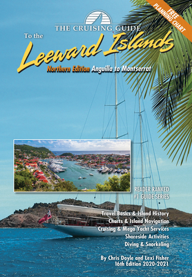
This 16th edition (2020-2021) of The Cruising Guide to the Northern Leeward Islands covers the islands of Anguilla, St. Martin & Sint Maarten, St. Barts, Saba, Statia, St. Kitts, Nevis, Redonda, and Montserrat.
These guides are an essential tool for all cruisers sailing this region. The authors spend months sailing these islands to update each edition. Included are over one hundred up-to-date color sketch charts, full color aerial photos of most anchorages, island pictures, and detailed shoreside information covering services, restaurants, provisioning, travel basics and island history.
A free 17 x 27 inch waterproof planning chart of the northern and southern Leeward Islands is now included in each edition
PRP: 198.09 Lei
Acesta este Pretul Recomandat de Producator. Pretul de vanzare al produsului este afisat mai jos.
178.28Lei
178.28Lei
198.09 LeiLivrare in 2-4 saptamani
Descrierea produsului
This 16th edition (2020-2021) of The Cruising Guide to the Northern Leeward Islands covers the islands of Anguilla, St. Martin & Sint Maarten, St. Barts, Saba, Statia, St. Kitts, Nevis, Redonda, and Montserrat.
These guides are an essential tool for all cruisers sailing this region. The authors spend months sailing these islands to update each edition. Included are over one hundred up-to-date color sketch charts, full color aerial photos of most anchorages, island pictures, and detailed shoreside information covering services, restaurants, provisioning, travel basics and island history.
A free 17 x 27 inch waterproof planning chart of the northern and southern Leeward Islands is now included in each edition
Detaliile produsului


