


Earth History and Palaeogeography
Earth History and Palaeogeography
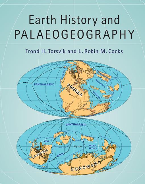
Using full-colour palaeogeographical maps from the Cambrian to the present, this interdisciplinary volume explains how plate motions and surface volcanism are linked to processes in the Earth's mantle, and to climate change and the evolution of the Earth's biota. These new and very detailed maps provide a complete and integrated Phanerozoic story of palaeogeography. They illustrate the development of all the major mountain-building orogenies. Old lands, seas, ice caps, volcanic regions, reefs, and coal beds are highlighted on the maps, as well as faunal and floral provinces. Many other original diagrams show sections from the Earth's core, through the mantle, and up to the lithosphere, and how Large Igneous Provinces are generated, helping to understand how plates have appeared, moved, and vanished through time. Supplementary resources are available online, making this an invaluable reference for researchers, graduate students, professional geoscientists and anyone interested in the geological history of the Earth.
PRP: 607.29 Lei
Acesta este Pretul Recomandat de Producator. Pretul de vanzare al produsului este afisat mai jos.
546.56Lei
546.56Lei
607.29 LeiPrimesti 546 puncte

Indisponibil
Descrierea produsului
Using full-colour palaeogeographical maps from the Cambrian to the present, this interdisciplinary volume explains how plate motions and surface volcanism are linked to processes in the Earth's mantle, and to climate change and the evolution of the Earth's biota. These new and very detailed maps provide a complete and integrated Phanerozoic story of palaeogeography. They illustrate the development of all the major mountain-building orogenies. Old lands, seas, ice caps, volcanic regions, reefs, and coal beds are highlighted on the maps, as well as faunal and floral provinces. Many other original diagrams show sections from the Earth's core, through the mantle, and up to the lithosphere, and how Large Igneous Provinces are generated, helping to understand how plates have appeared, moved, and vanished through time. Supplementary resources are available online, making this an invaluable reference for researchers, graduate students, professional geoscientists and anyone interested in the geological history of the Earth.
Detaliile produsului
De pe acelasi raft
-

PRP: 204.00 Lei
183.60 Lei
183.60 Lei204.00 Lei
-
Kingsmill Plantation, 1619-1800: Archaeology of Country Life in Colonial Virginia - William M. Kelso
PRP: 183.09 Lei
164.78 Lei
164.78 Lei183.09 Lei
-
PRP: 746.50 Lei
671.85 Lei
671.85 Lei746.50 Lei
-
PRP: 186.00 Lei
167.40 Lei
167.40 Lei186.00 Lei
-
PRP: 292.33 Lei
263.10 Lei
263.10 Lei292.33 Lei
-
PRP: 120.51 Lei
108.46 Lei
108.46 Lei120.51 Lei
-
PRP: 190.40 Lei
171.36 Lei
171.36 Lei190.40 Lei
-
PRP: 217.00 Lei
195.30 Lei
195.30 Lei217.00 Lei
-
PRP: 217.46 Lei
195.71 Lei
195.71 Lei217.46 Lei
-
PRP: 725.33 Lei
652.80 Lei
652.80 Lei725.33 Lei
-
PRP: 136.33 Lei
122.70 Lei
122.70 Lei136.33 Lei
-
PRP: 698.13 Lei
628.32 Lei
628.32 Lei698.13 Lei
-
PRP: 220.83 Lei
198.75 Lei
198.75 Lei220.83 Lei
-
PRP: 217.00 Lei
195.30 Lei
195.30 Lei217.00 Lei
-
PRP: 154.93 Lei
139.44 Lei
139.44 Lei154.93 Lei
